LOGO

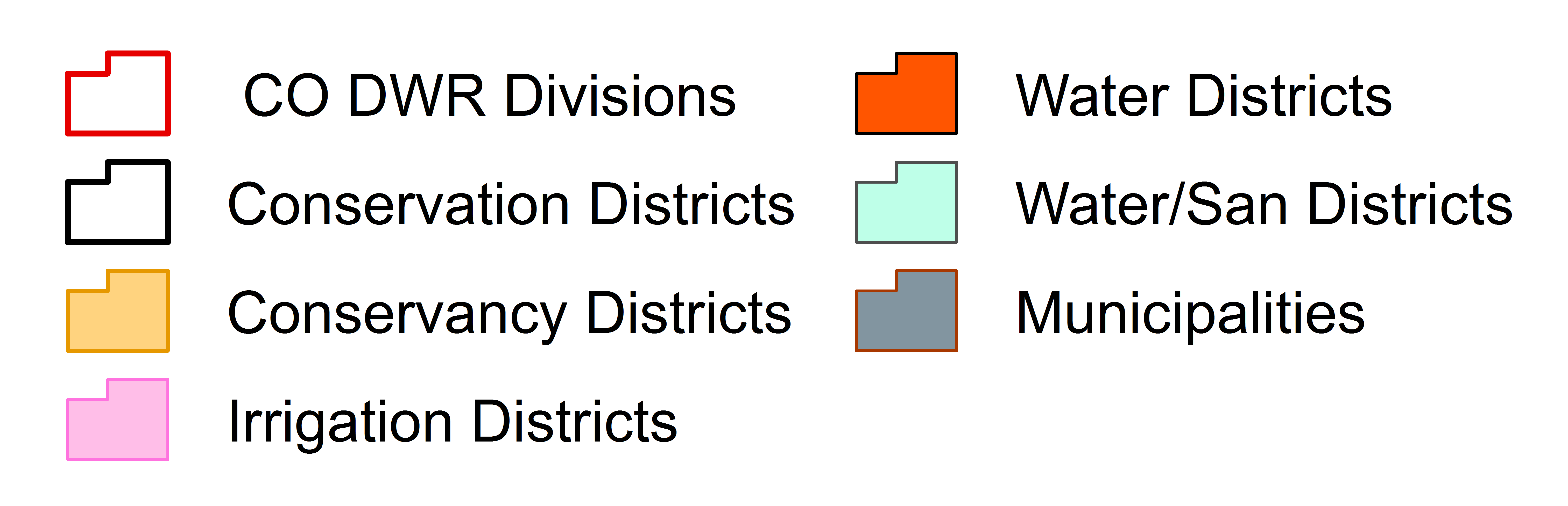
Colorado Water Entities

Webmap displaying Municipal Water, Water and Sanitation, Water, Irrigation, Conservancy, and Conservation Districts in Colorado

MAP LEGEND
DOWNLOAD SHAPEFILES   DOWNLOAD LAYERS AS KML

Click a feature on the map for More Information

For better performance, limit the number of layers that are turned on. (i) - Indicates that this layer can be clicked to find out more information. If layer is grey, then zoom in or zoom out to make layer visable. Map intended as a general resource only. This map may not include all established water entities. Water entity boundaries and locations are believed to be generally accurate; however, this map is subject to change without notice and should not be relied upon in legal proceedings. If you know of missing or innaccurate data, or have questions, they may be directed to cowaterentities@dataviewer.info

LRE Logo